Cahul is a flood lake on the lower Danube, located in the Reni district of Odessa region east of the city of Reni.
The area of the lake is seasonal and ranges from 82 to 93.5 km². The maximum depth is 7 m, an average of 1.5 - 2 m. The southern part of the lake is wide (width - up to 11 km, length - 18 km), northern - narrow, elongated (width - up to 2 km, length - 15 km). The temperature in summer is up to +30 ° C, in winter the lake freezes. Mineralization of water - from 0.8 to 1.5 g / l. From the north, the Cahul River flows into the lake.
A small (about 1 km) section of the northern coast of the lake is located on the territory of Moldova. On this site there is a water station, which serves to irrigate the fields near the cities of Cahul and Giurgiulesti.
The lake (part) and its coastline are part of Lake Cahul Nature Reserve with a total area of 1,411 hectares, created on September 10, 2019.
GEOGRAPHY
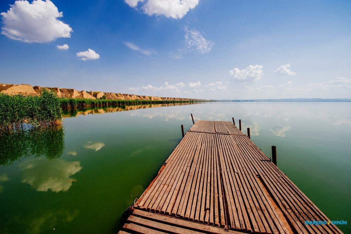
The northern shores are high, dissected by beams, the southern shores are lowland, swampy and overgrown with reeds. The bottom is covered with a layer of gray loessic silt; in shallow water, the bottom is sandy.
The Cahul communicates with the Danube and Lake Kartal via a duct (in the south - the Vekita duct). Separated from the Danube by a dam, in the past the lake had a reservoir regime. The water exchange in Cahul is regulated by a lock-in fish channel and channel.


