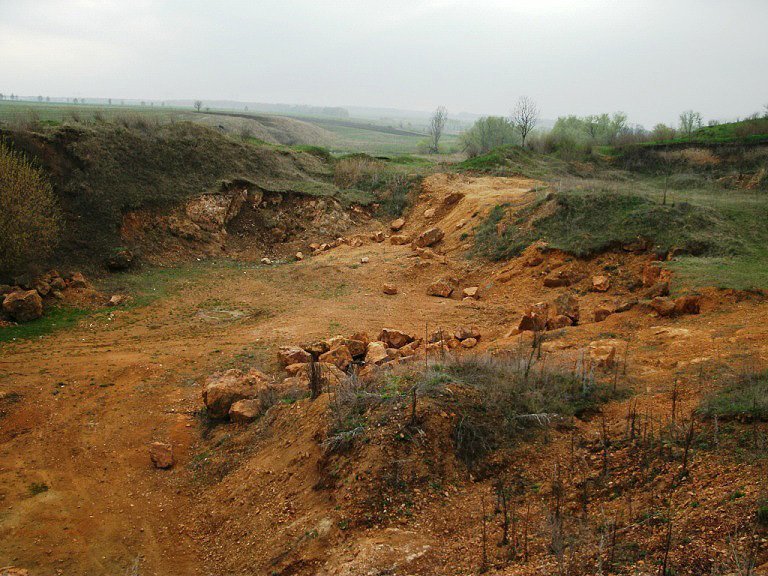
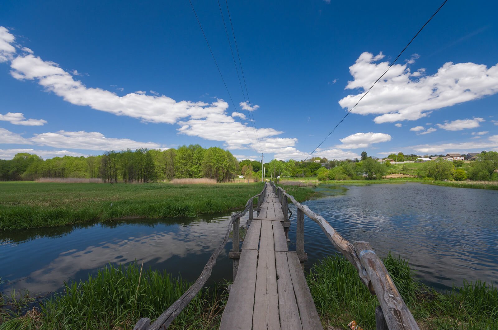
Tributary of Murafa act as interactive elements in forming a regional ecological network and yet are ecological corridors in the formation of the local ecological network. Scenic beaches, small forests, grassland, granite, height of 10-15 m, which hang over water, with noise and screech are spreading among the many rapids supplementing archaeological and architectural monuments. Near Vil-Yaruzky villages there were found three settlements of Tripoli culture. A rich collection of archaeological sites had been discovered near the village Mervyntsi as well. The upper and middle reaches of the river Murafa are strongly regulated by dams, that has much contributed to the formation of ponds and reservoirs. Over time, these water objects had formed the floral complexes, facilitating the conservation of fauna diversity.
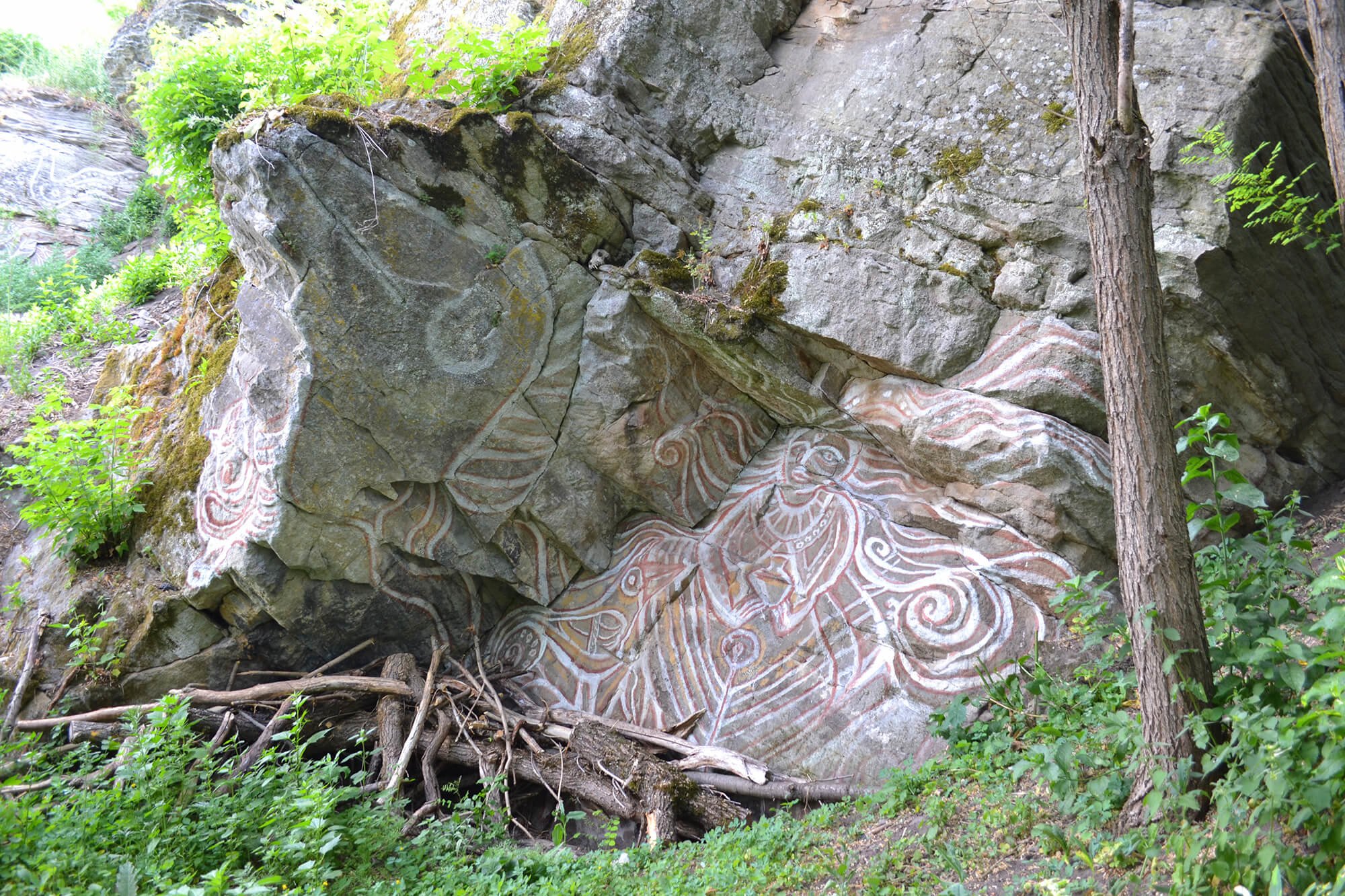
The regional landscape park "Murafa"
Audio guide
Listen to the story of this place
About the place
Plan your trip
This place in routes
Travellers' impressions
Reviews 1
Dmitry Matyash
26 April 2018
-
Natural objects and reserves
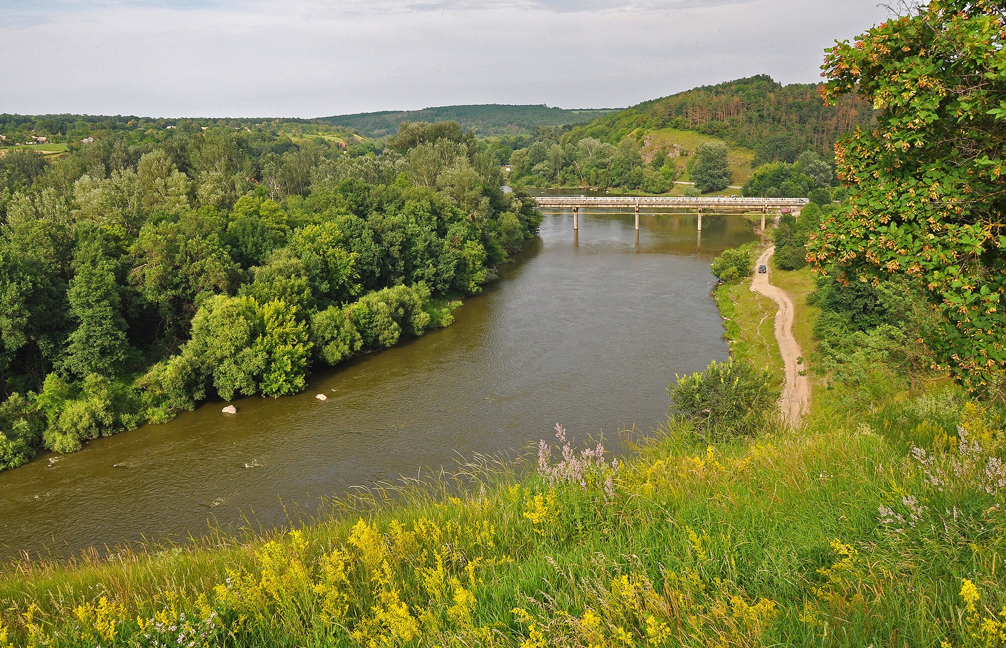
Hydrological reserve of local importance "Rivskyy"
с.Рів, Жмеринський р-н, Вінницька обл., 23135
-
Natural objects and reserves
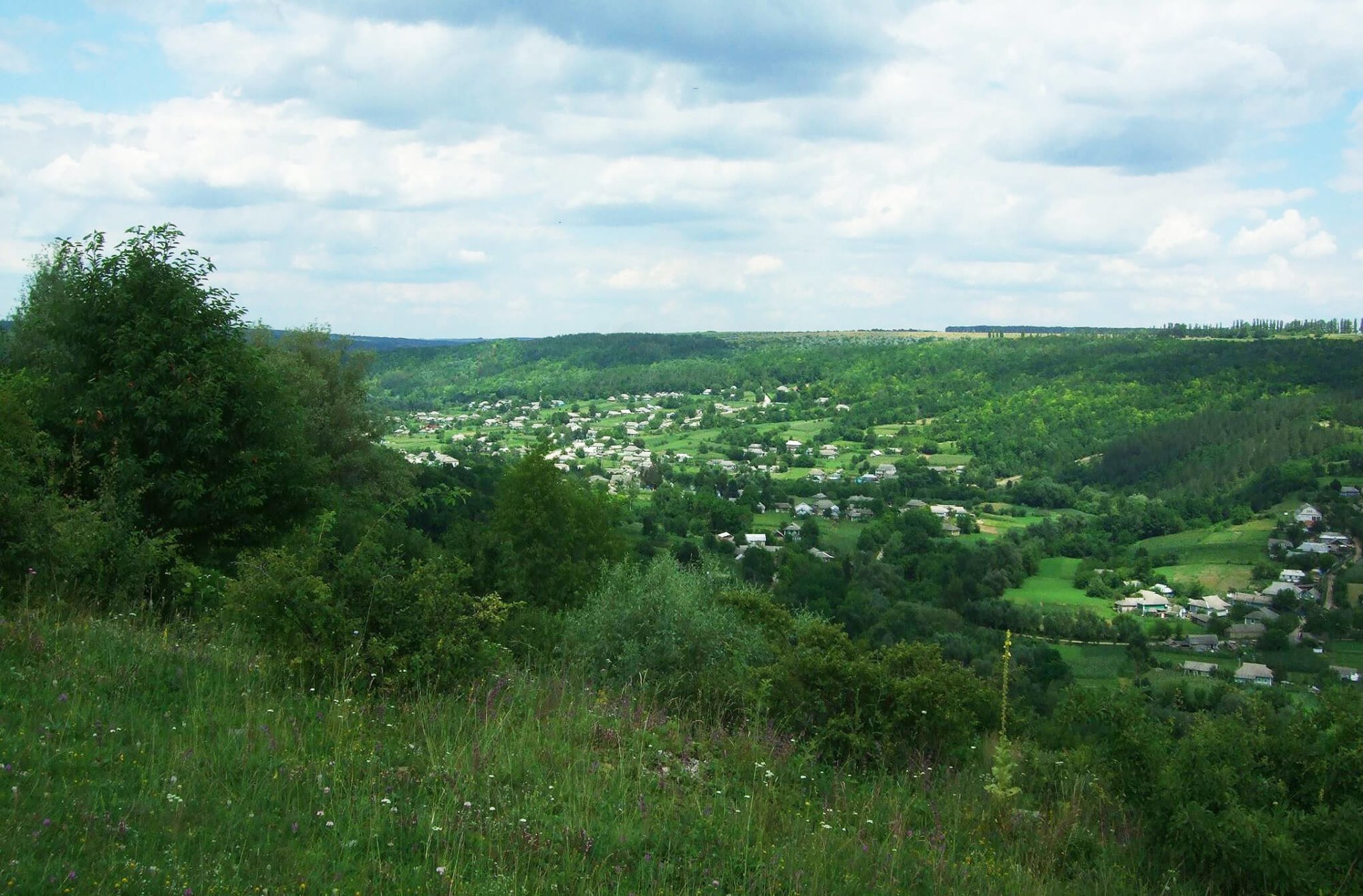
The regional landscape park "Nemyriv Pobuzhya"
Немирівський район, с. Воробіївка, Воробіївська сільська рада
-
Natural objects and reserves
The botanical reserve of local importance "Krynychka"
Мурованокуриловецький р-н, с. Галайківці


-
Ukrainian cuisine restaurant
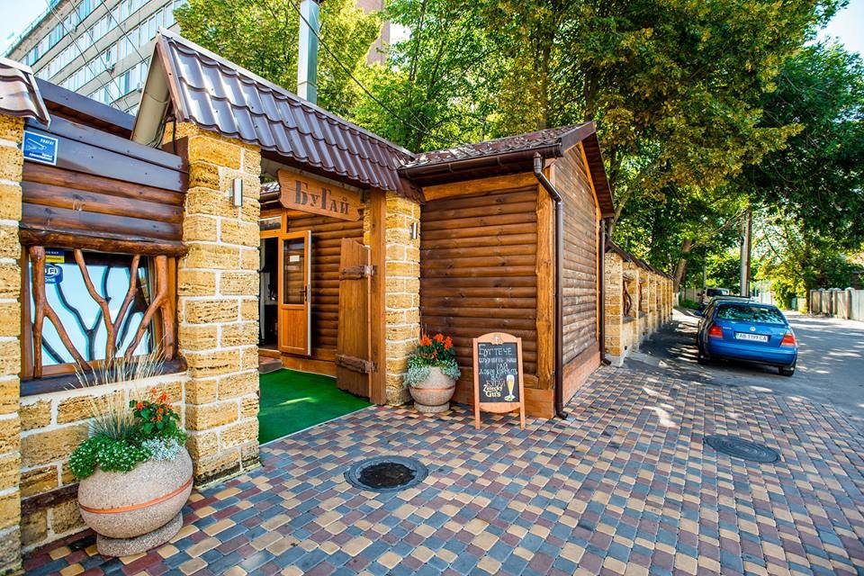
BuGai
вулиця Кармелюка, 1а, Вінниця
-
National cuisine restaurant
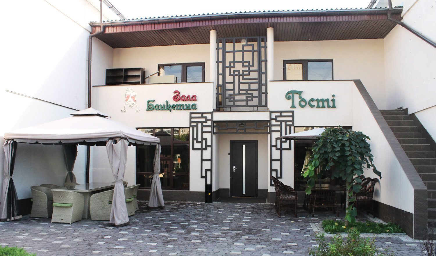
Alemana
Вінниця, вул. Келецька 27
-
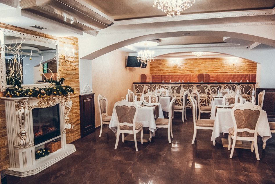
National cuisine restaurant
Aristocrat
вулиця Івана Бевза, 17, Вінниця
-
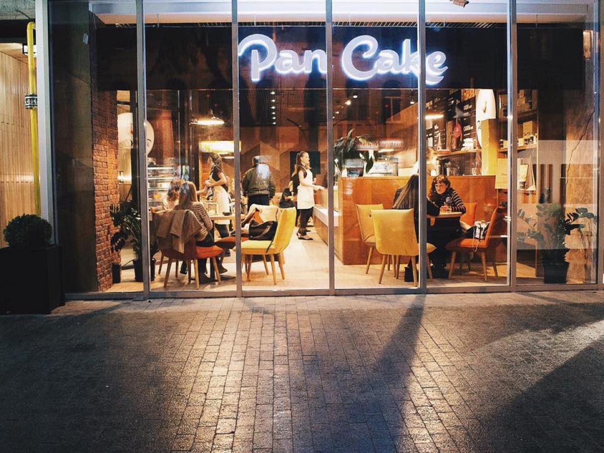
Confectionery
Pan Сake
Вінниця Соборна вулиця 10
-
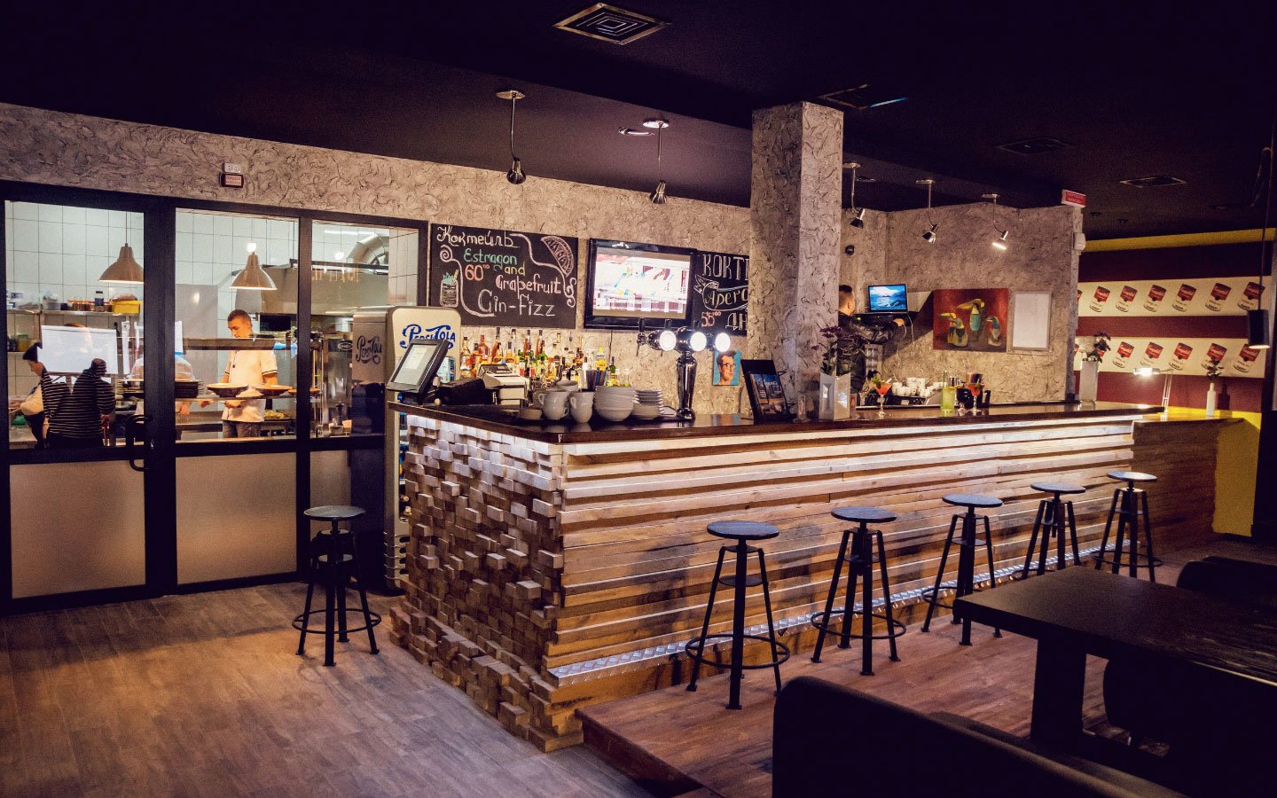
National cuisine restaurant
The Factory
вулиця Грибоєдова, 3-а, Вінниця
-
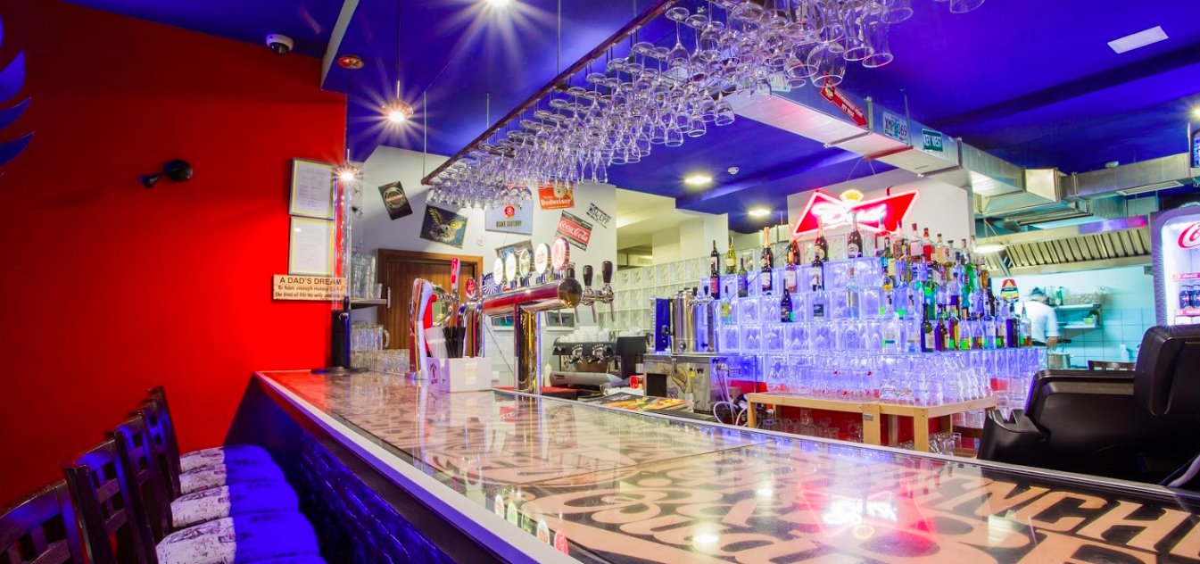
Meat restaurant
American Grill Bar
вулиця Київська, 50, Вінниця


-
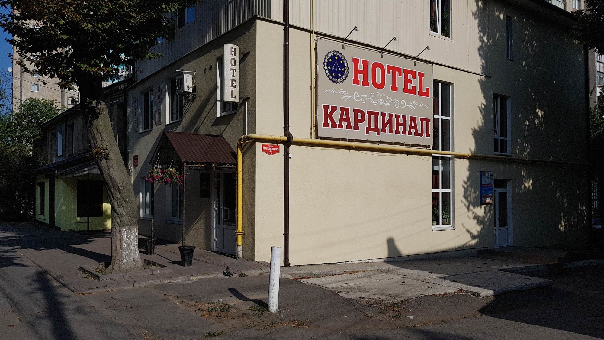
Hotels
Cardinal
вулиця Магістратська, 76, Вінниця
-
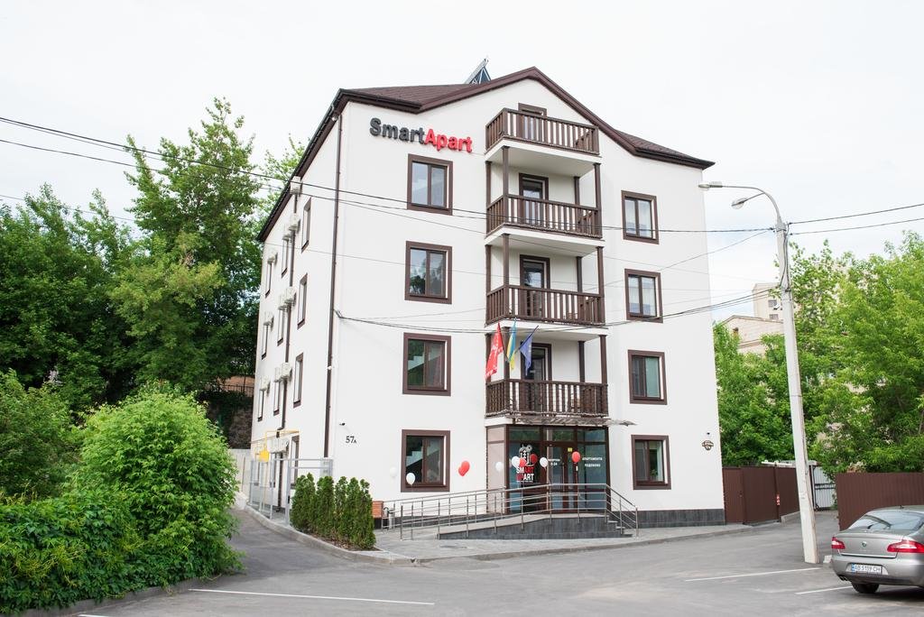
Hotels
Smart Apart
вулиця Архітектора Артинова, 57-А, Вінниця
-
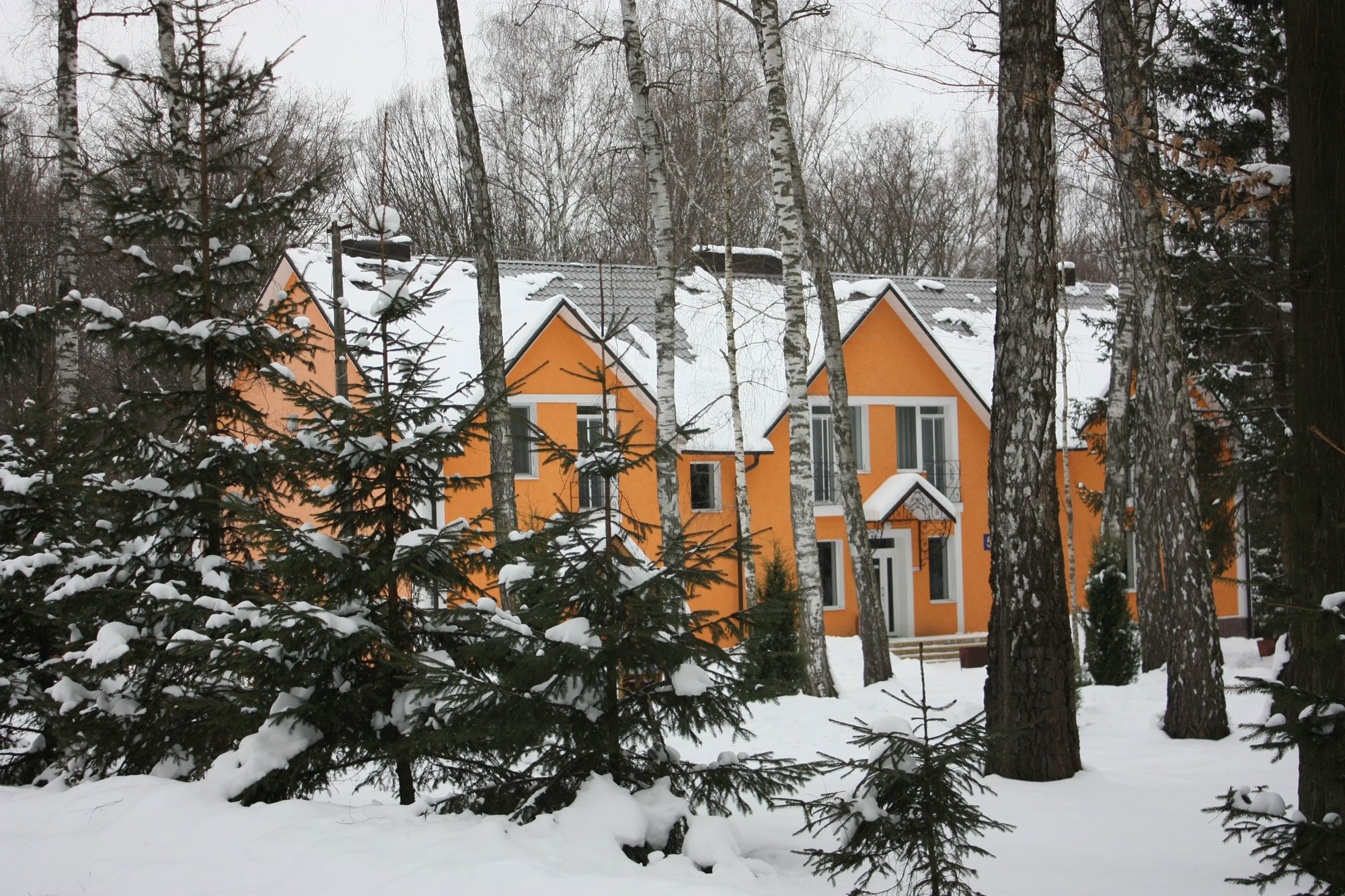
Resorts
"Berezovyi Gay" sanatorium
вул. Курортна,12, м. Хмільник Вінницької області
-
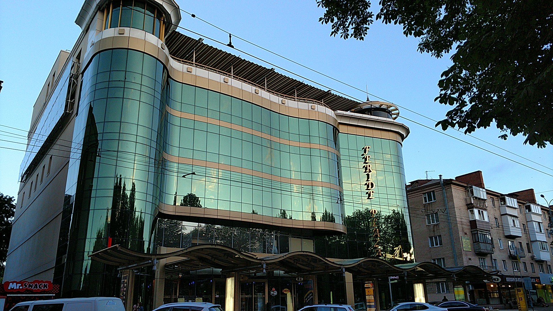
Hotels
Feridе Plaza
вулиця Пирогова, 23-А, Вінниця
-
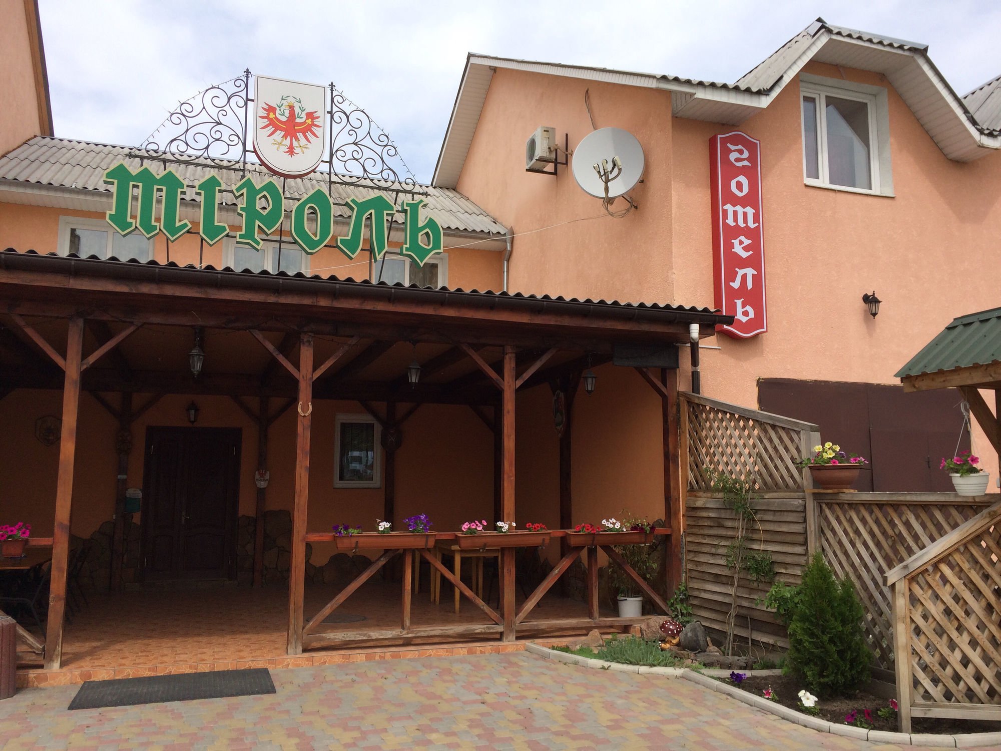
Hotels
Tyrol
вулиця 1-го Травня, Гайсин
-
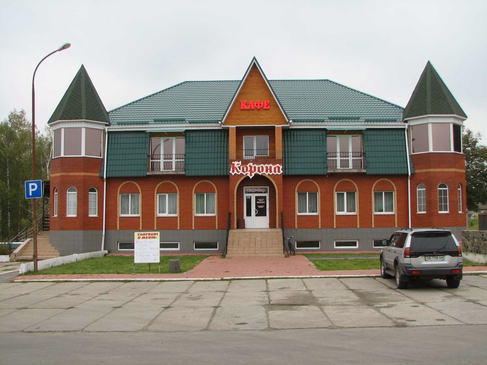
Hotels
Korona
Е50, Літин